Macareux Google Map Attribute
Simplify the integration of Google Maps into Concrete CMS projects
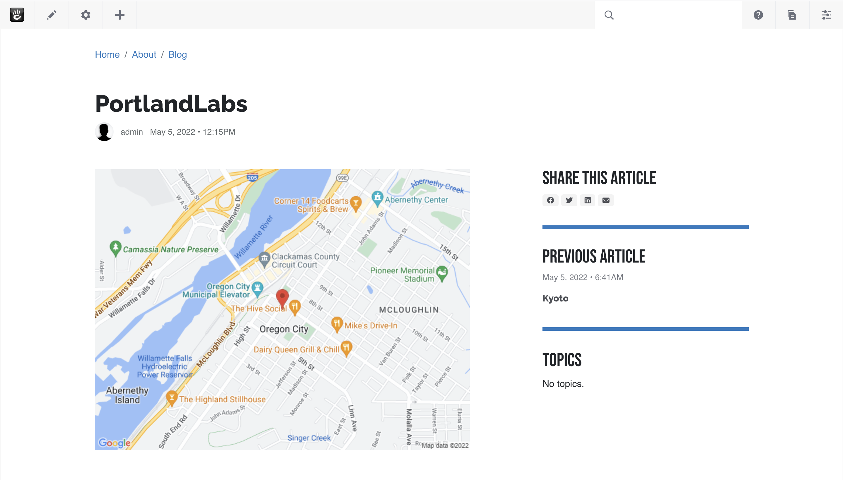
This package introduces a "Google Map" attribute type, enabling location setting on various objects like pages, users, and express entries through a Google map interface. It simplifies the integration of Google Maps into Concrete CMS projects, leveraging Google Cloud Platform's APIs for location services. The attribute displays as a static map image, offering a straightforward way to incorporate map functionality without the need for extensive coding.
Features
- Installs the "Google Map" attribute type for easy addition of location settings to Concrete CMS objects.
- Requires a Google Cloud Platform API Key with enabled Places API and Maps Static API.
- Enables displaying the attribute value as a static map image using the Page Attribute Display block, avoiding the need for iframe embeds.
- Supports fetching and displaying location coordinates (latitude, longitude) and additional details like zoom level and marker visibility directly from the object attributes.
- Includes utility for sorting items by proximity, allowing for the prioritization of nearest items first using object coordinates.
- Offers customization options for the static map appearance by overriding the default map renderer class.
- Published under the MIT License, welcoming contributions and improvements through pull requests on GitHub.


